
Homestead ZIP Directory Coverage
USPS material associates nine codes with the Homestead post-office name. Six are standard city-serving or regional delivery areas. Three are specialized codes that should not be drawn as ordinary neighborhoods without a specific USPS check. The broad postal set is much larger than incorporated Homestead.
| ZIP | Area Served | Post Office Evidence | Directory Note |
|---|---|---|---|
| 33030 | Historic core and nearby postal territory | Homestead Post Office | Strong core link; still verify city line |
| 33031 | Redland and agricultural west | No separate retail office verified | Largely outside city |
| 33032 | Princeton and northeast postal area | Princeton Post Office | Major postal-city mismatch |
| 33033 | East and northeast, including Leisure City area | Homestead postal system | City and unincorporated parcels |
| 33034 | Far south and southwest rural territory | No separate office verified | Much lies beyond city |
| 33035 | Southeast and development toward Biscayne Bay | No separate office verified | Includes city and boundary edges |
| 33039 | Specialized association | Classification not verified | Do not map as a neighborhood |
| 33090 | Specialized or PO-box association | Homestead postal operation | Not suited to parcel-radius work |
| 33092 | Specialized association | Classification not verified | Confirm each mailpiece with USPS |
Postal codes route mail. They are not city, school, voting, or neighborhood boundaries. A result count for 33033 can mix incorporated and unincorporated parcels unless another field limits municipality.
33030 and Homestead's Core
ZIP 33030 has the clearest tie to the old civic core. The Homestead Post Office is at 739 Washington Avenue, with General Delivery and PO boxes among its services. Yet even this code extends beyond a simple municipal outline. Use it as a strong first filter, not final proof of city jurisdiction.
The official USPS Homestead Post Office detail shows the facility record.
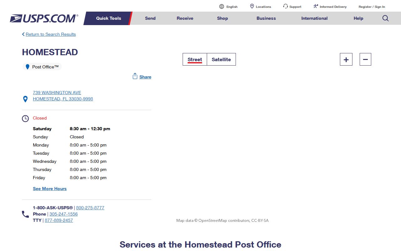
The facility confirms postal service. It does not define the limits of Homestead city government.
Homestead ZIP Address Search
The Miami-Dade Address Search is the key bridge between a postal result and county geography. It offers a full-address mode or parsed fields. Parsed inputs include house number, pre-direction, street name, street type, post-direction, optional ZIP code, and optional municipality. Directional terms matter in Homestead because the historic grid uses NE, NW, SE, and SW while the broader area also uses the county numbered grid.
| Field | Type | Required | Use |
|---|---|---|---|
| Full Address | Text | Full mode | Enter one standardized line |
| House Number | Text | Parsed mode | Numeric part |
| Direction and Street | Text/select | As applicable | Preserve NE, NW, SE, or SW |
| Street Type | Text/select | As applicable | Avenue, street, drive, and similar type |
| ZIP Code | Text | No | Refines ambiguous streets |
| Municipality | Dropdown | No | Separates Homestead from unincorporated county |
The official county address and ZIP search shows these inputs.
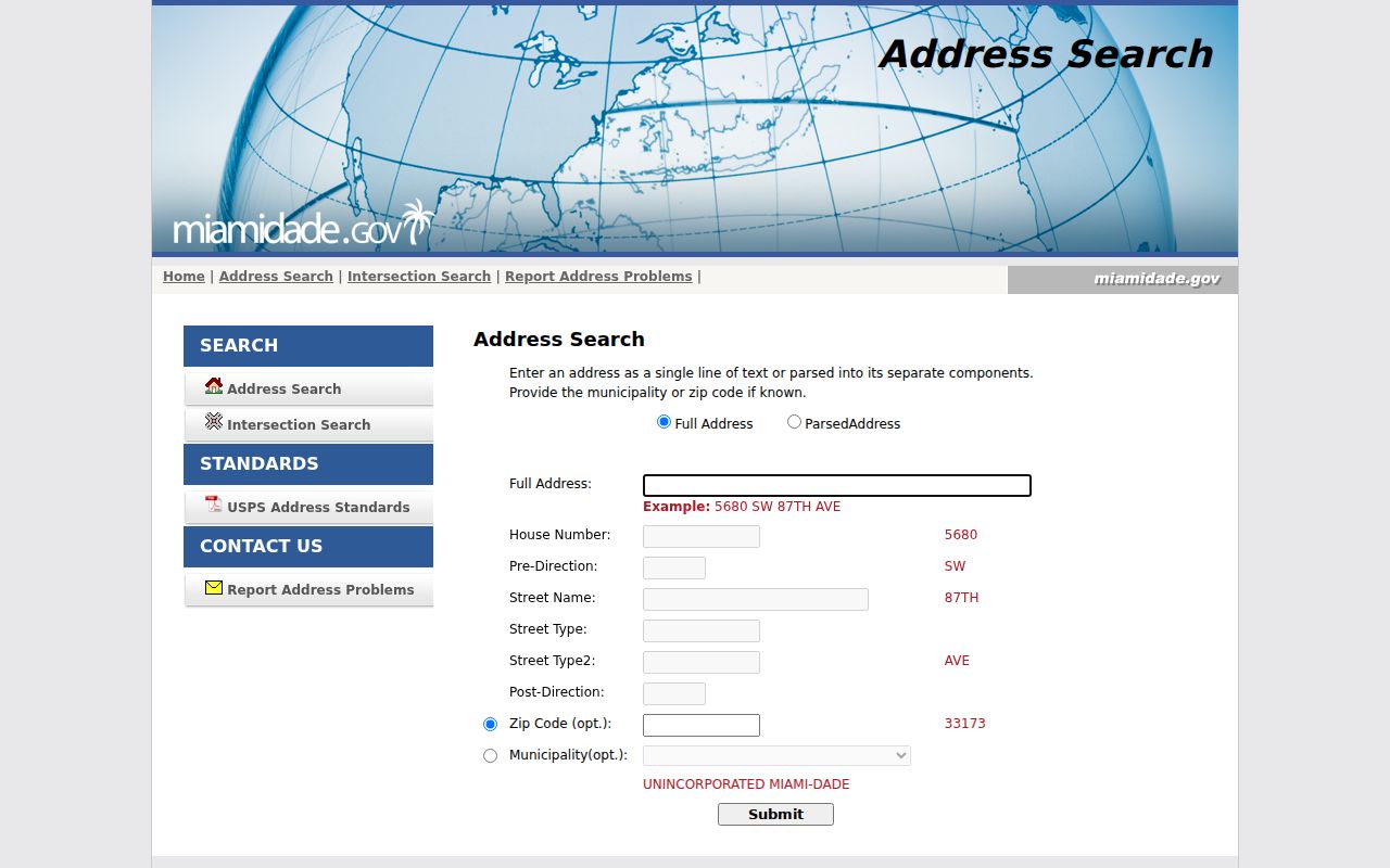
After validation, carry the address to Property Search or e-Maps. Address validation locates a place but does not name an owner.
Find Homestead Residents by ZIP
A ZIP-wide search needs a fixed order. USPS standardizes delivery, the county resolves local geography, the Property Appraiser identifies parcels and owners, and Elections supplies only lawfully requested voter data. Skipping that order can place a person in Homestead merely because the mailing city says Homestead.
- Enter the exact street address in the USPS ZIP Code Lookup and save the standardized city, state, ZIP, and ZIP+4.
- Check the county's approximate ZIP map, then validate the address with municipality included when needed.
- Open Property Search and record the situs address, folio, owner, and mailing address. Ownership does not list all occupants.
- For a scoped public voter extract, specify ZIP, municipality or precinct, requested fields, snapshot date, format, and delivery. Protected fields remain removed.
- Once the result narrows to one road, use the Homestead by-street directory for address-level work.
The official USPS lookup screen is the postal authority for a specific delivery address.
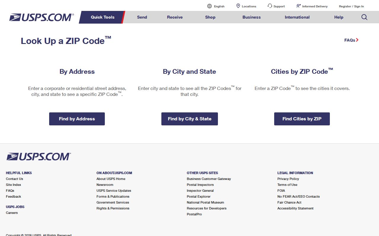
Carry its standardized result into county tools instead of treating the postal city as a municipal finding.
Note: The voter self-check requires identity fields and cannot browse everyone in a Homestead ZIP code.
Homestead GIS Boundary Check
The city's noncompact shape grew east and northeast from its Krome Avenue core. Postal areas cross that shape. County GIS and folio numbering provide firmer jurisdiction clues than a mailing line. A Miami-Dade folio begins with municipality digits: 10 indicates Homestead, while 30 indicates unincorporated Miami-Dade. The rest of the 13-digit folio encodes township, range, section, subdivision or acreage, and parcel.
The Homestead GIS entry point connects readers with local map resources.
Use the map for city context, then rely on the parcel card and municipality code for the record custodian.
Geography rule. “Homestead, FL” on mail is a USPS place label, not proof that an address lies inside Homestead city limits.
33032, 33033, and 33035
Three codes show why the Homestead ZIP code directory needs a boundary check. ZIP 33032 covers the Princeton and northeastern postal area. Its post office is named Princeton even though the mailing address uses Homestead. ZIP 33033 spans east and northeast Homestead plus Leisure City-area territory, mixing city parcels with unincorporated land. ZIP 33035 reaches southeastern Homestead and newer communities toward Biscayne Bay, including boundary-edge parcels.
These differences change where records live. Homestead keeps municipal permits for sites within its jurisdiction. Miami-Dade remains the keeper of county property and deed records throughout the area. A county-grid street with a Homestead postal city can still fall beyond the city code and city permit system.
Rural Homestead ZIP Areas
ZIP 33031 covers much of Redland and agricultural land west of the city. ZIP 33034 reaches far south and southwest toward rural and Everglades-side territory. Acreage, subdivision names, legal descriptions, and folios often work better than a neighborhood label in these areas. Many parcels will carry an unincorporated municipality code even though the mailing city is Homestead.
That postal geography also explains older records. Homestead-area printed directories often covered Goulds, Florida City, Redland, and other communities beyond today's boundary. A historical entry labeled Homestead and a modern Homestead ZIP may both describe a wider district. Neither should be forced into the present city outline without a parcel, map, or period source.
Special Homestead ZIP Codes
Codes 33039, 33090, and 33092 appear in authoritative USPS associations with Homestead, but current classifications were not fully verified in the research. Code 33090 is linked to the Homestead postal operation and is associated with specialized or PO-box use. County planning warns that generalized maps may omit PO-box codes. These codes should not be treated as ordinary polygons or used to infer a household radius.
- ZIP code
- A USPS delivery area, not a legal boundary.
- ZIP+4
- The base code plus four digits that narrow a delivery segment.
- PO-box ZIP
- A code used for post-office-box delivery rather than street parcels.
- Unique ZIP
- A code assigned to one high-volume recipient or special operation.
- Carrier route
- A mail-delivery path that can cross familiar neighborhood lines.
Limits of ZIP Resident Lists
A ZIP code directory can narrow geography, but it cannot enumerate a household. The tax roll names owners, not all residents. A voter extract is a dated registration file with protected people and fields removed. Business filings can be searched by address or ZIP, yet a principal or registered-agent address is not proof of residence. USPS confirms delivery format, not who receives mail inside a home.
Use the smallest amount of data needed. Verify a person or parcel with two dated official records and respect confidentiality controls. When an address fails online, use the county address-problem route, the Property Appraiser contact channel, the City Clerk for municipal files, or a Chapter 119 request to the office that holds the known record.
Homestead Folios Refine ZIP Results
A Miami-Dade folio is more stable than a postal label when a ZIP code crosses jurisdictions. Its format is 99-9999-999-9999. The first two digits identify the municipality: 10 marks Homestead and 30 marks unincorporated Miami-Dade. The next four describe township, range, and section. Three more identify a subdivision, acreage, or plat grouping, while the last four identify the parcel. That structure separates properties that share a Homestead mailing city but answer to different local governments.
After USPS standardizes an address, use the county address tool to resolve its location. Then open Property Search and record the folio, situs address, legal description, and municipality. If the folio starts with 10, Homestead is the municipal custodian for city-created permit or code files. If it starts with 30, the address is in unincorporated county territory even when the envelope says Homestead. County property and deed sources still cover both.
This step also guards against similar street text. Homestead's core uses directional quadrants, while the broad postal area uses the countywide numbered grid. Krome Avenue, Washington Avenue, Mowry Drive, Campbell Drive, and South Dixie Highway add named-road variants. Preserve direction, street type, and standardized spelling instead of searching only a house number and ZIP code.
Homestead ZIP Record Channels
No official portal produces a complete list of everyone living in one ZIP. Property Search can group parcels and owners, but it omits renters, relatives, roommates, and other occupants. The voter self-lookup checks one person's status with identifying inputs. A broader Elections extract must be requested separately, with geography, fields, snapshot date, output format, and electronic delivery stated. Exempt voters and confidential fields remain suppressed.
When an address fails online, use the county address-problem link or contact the Property Appraiser. For city permits or code files, give the Homestead City Clerk the validated address and a narrow date range. For voter data, ask Elections for a cost estimate because extensive labor or technology can produce a special-service charge under Chapter 119. These fallbacks keep a ZIP code directory useful without turning postal geography into an unsupported household claim.