
Walk a Homestead Street
A sound street-by-street search keeps ownership, occupancy, and mailing information separate. Miami-Dade Property Search gives the assessed owner, situs address, owner mailing address, folio, legal description, sales, values, exemptions, and available sketches or aerials. The situs is the physical parcel. The mailing address is where tax notices go. Neither field names every person living there. Deeds then document transfers, while Homestead permits and code files date work or enforcement at the address.
Use this sequence for one address, then repeat it parcel by parcel. It prevents a familiar mistake: treating a row of house numbers as a complete residents roll. Corner lots, vacant tracts, condominium units, and replatted land can break that assumption.
- Validate the street wording with Miami-Dade Address Search, then run the standardized address in Property Search.
- Record the owner, situs, mailing address, 13-digit folio, subdivision, lot or block, and legal description.
- Open Miami-Dade e-Maps, select the parcel layer, and inspect adjoining lots on street and aerial basemaps.
- Search Official Records by owner names and confirm deeds with the folio or legal description.
- Add Homestead permit and code records, then consult historical directories only when the question concerns an older listed occupant.
Search Homestead Parcels Four Ways
The Miami-Dade Property Appraiser Property Search is the strongest first stop for a Homestead street directory because it supports address, owner name, folio, and subdivision searching. Partial address results may be printed or copied to a spreadsheet. On the map, double-clicking a condominium complex can expose the individual property units and indexed owners.
| Field | Kind | Needed | How to use it |
|---|---|---|---|
| Enter Address | Text | Address mode | Use the standardized street address; partial text may return a list. |
| Suite | Text | Optional | Refines a unit or suite. |
| Enter Owner Name | Text | Owner mode | Try spelling and entity-name variants. |
| Enter Folio | Masked text | Folio mode | Uses the 13-digit county parcel number. |
| Subdivision name | Search key | Optional | Useful when street wording has changed. |
The captured parcel-and-aerial interface below shows why an address can become a reusable parcel key rather than a loose postal label.
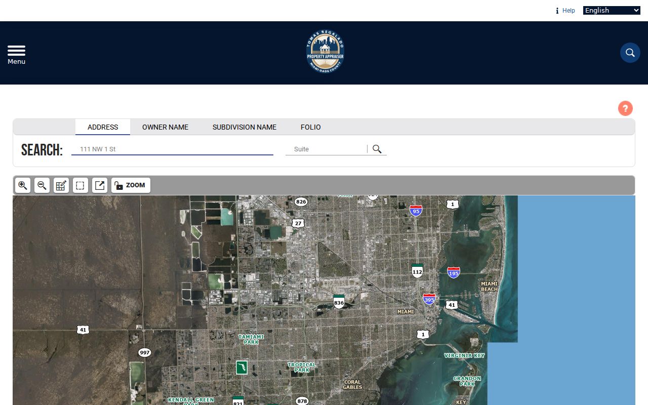
Read the result card as a dated tax record. Ownership, sales, market value, assessed value, taxable value, exemptions, lot size, and building traits serve different purposes. A matching owner mailing address and situs can support an owner-occupancy inference, especially when a homestead exemption appears, but it still does not identify each person at the home. A different mailing address may point to an absentee owner, a trust, or an entity that receives notices elsewhere. Keep the exact roll year because the office warns that live information is continually edited.
Decode Homestead Street Folios
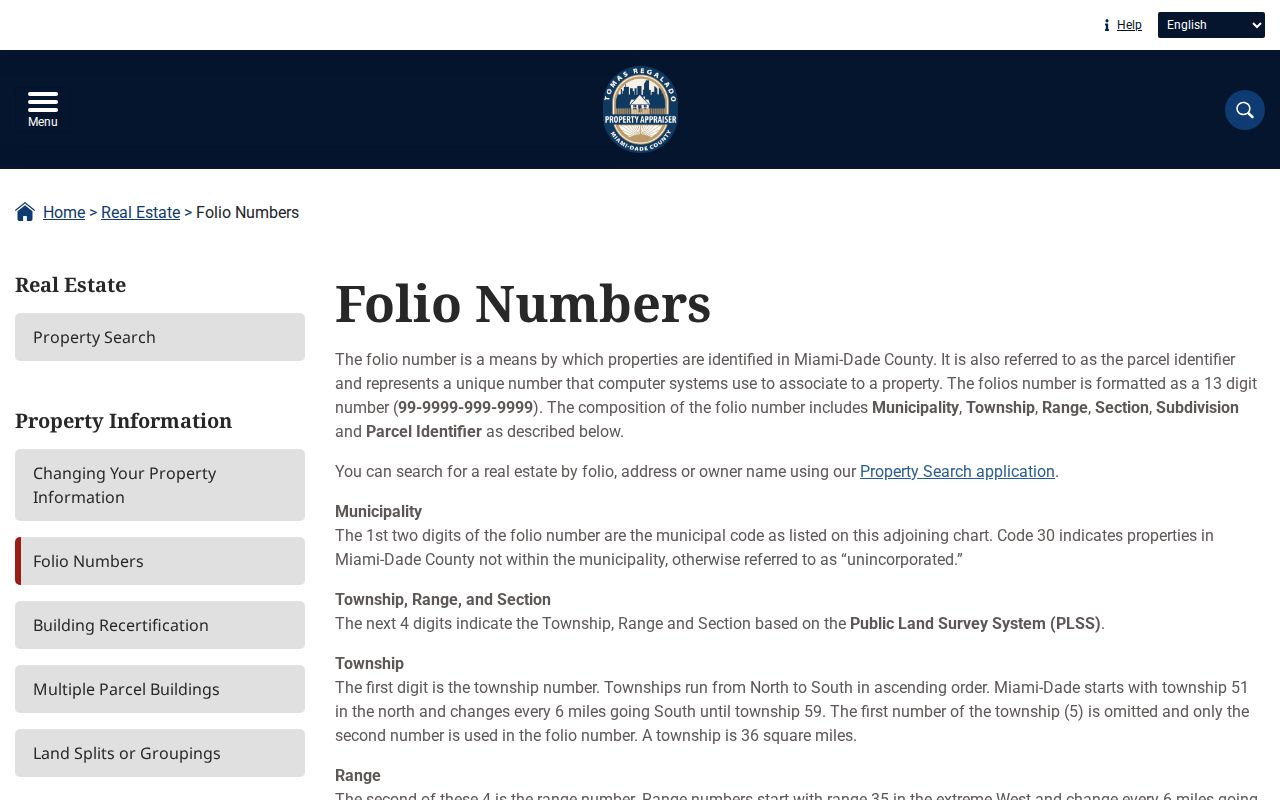
The Property Appraiser's folio guide explains the county format: municipality, township-range-section, subdivision or acreage, then parcel. Homestead's municipality prefix is 10. Unincorporated Miami-Dade uses 30. That first pair is a better city-limit test than a postal line that merely says Homestead.
- Parcel
- A mapped unit of land with its own county folio.
- Situs address
- The county-standardized physical address of the property.
- Plat
- A recorded map that identifies subdivisions, lots, blocks, and related boundaries.
- Criss-cross directory
- A historical directory arranged by address or street instead of only by surname.
Map Homestead Streets Parcel by Parcel
Miami-Dade e-Maps can search an address, intersection, landmark, folio, township-range-section, municipality, or commission district. Select Parcels as the information layer. The Select and Select by Area tools collect lots, while Buffer can gather a wider group by feet and target layer. Results may be exported to HTML or Excel.
Open the county e-Maps viewer to compare the subject lot with adjoining parcels. The screenshot shows the map surface used to browse a Homestead street without trusting house-number order.
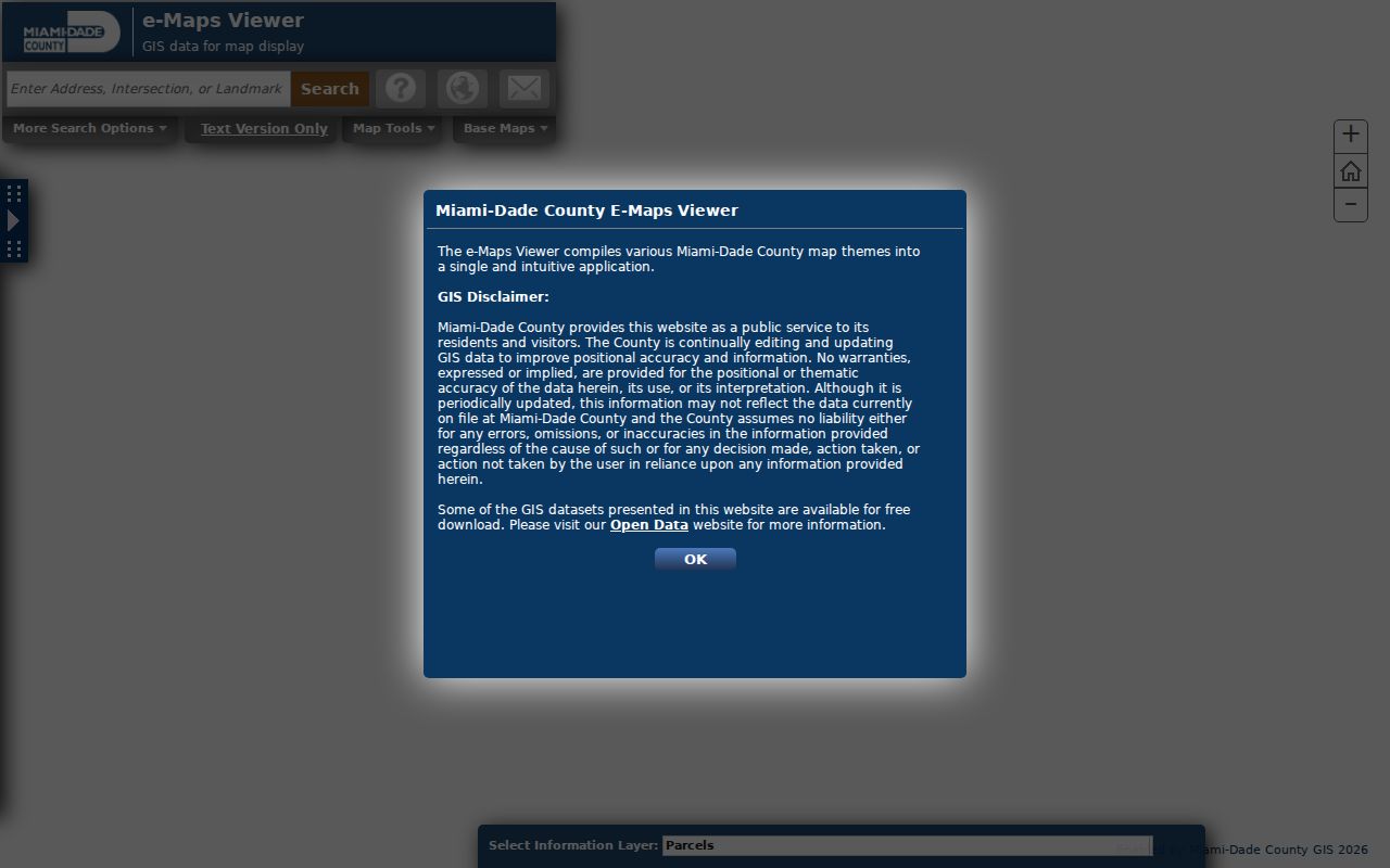
For a whole block, zoom far enough to see both sides and use Select by Area. For a smaller group, click the subject parcel and its direct neighbors. A buffer is useful when a fixed radius matters, but it can pull in lots across canals, rear property lines, or another road. Exported folios can then be opened one at a time in Property Search. GIS positions are approximate and should never replace a boundary survey.
Homestead Records Indexed by Address
No single source completes a Homestead street directory. Each custodian records a different relationship to the land. Use the county roll and GIS first, then add recorder and city evidence according to the question.
A street directory search is strongest when every row keeps a source date and a precise role. Label a name as assessed owner, deed grantor, deed grantee, permit applicant, contractor, or registered voter as the record states. Do not merge those roles into “resident.” That simple practice makes it possible to compare changes along one Homestead street while preserving the limits of each official file.
| Record Set | Keeper | What It Shows | Access |
|---|---|---|---|
| Property roll | Miami-Dade Property Appraiser | Owner, situs, mailing address, folio, sales, exemptions | Free online search |
| Parcel map | Miami-Dade GIS | Parcel shape, adjacency, municipality and layers | Free e-Maps viewer |
| Official Records | County Recorder / Clerk | Deeds, mortgages, liens, plats and notices | Most 1974-present online; older at Records Library |
| Permit file | Homestead Building Department | Permits, plans, surveys, inspections and occupancy certificates | Online routing and request form |
| Code records | Homestead Code Compliance | Complaints, notices, hearings, fines and liens | City records request |
Miami-Dade Elections does not publish a browseable street directory. Its status screen is an identity-gated self-lookup. A lawful voter-data request follows a separate process and excludes protected fields or exempt addresses. A missing name cannot establish that nobody lives at a parcel.
Follow Homestead Deeds Along Streets
After Property Search identifies an owner, search that person as grantee in the Miami-Dade Official Records system. Match the acquisition deed by legal description, folio, Clerk's File Number, or book and page. Then search its grantor as a grantee on an earlier deed. Recording date is not the same as a move-in date, but the chain establishes transfers.
The recorder screenshot provides the official entry to deeds, mortgages, satisfactions, liens, judgments, plats, and notices of commencement used in a by-address trail.
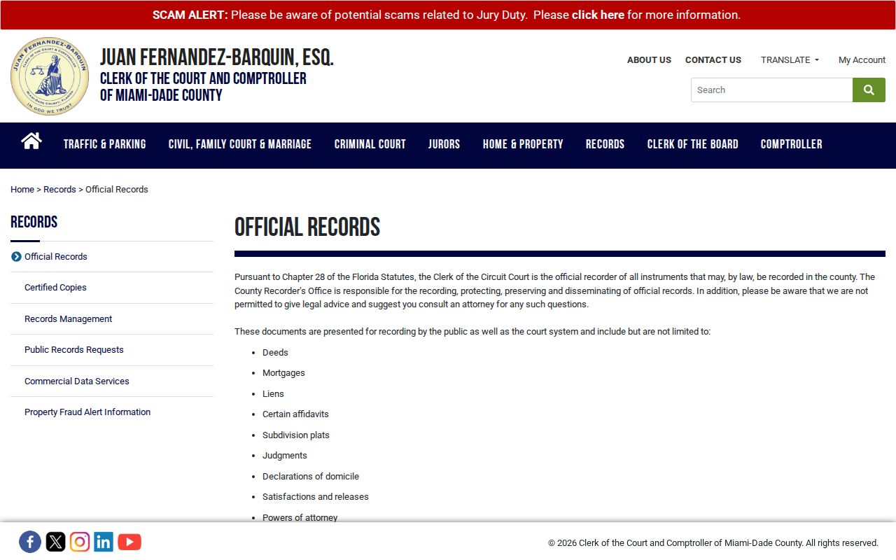
Most instruments from 1974 forward are online. Earlier links move to the Records Library at 20 NW 1st Avenue in Miami. Public computers support party, subdivision, lot, block, plat, CFN, and book/page searches. Staff searches cost $2 per name for each year, copies cost $1 per page, and certification costs $2 per document. Mail and phone routes are also available through the Clerk.
A mail request should give the full party name and document type, plus the property address or legal description for a deed or mortgage. For a certified copy, add the book and page when known, year, parties, instrument type, a self-addressed stamped envelope, and the required fees. The Clerk's main records telephone line is 305-275-1155. These routes matter when a web image is absent, protected from internet display, or older than the main online range.
Better key. Carry the folio, subdivision, lot and block to the Records Library because legal land text survives many street-name problems.
Add Homestead Permit Street Records
Homestead's Building Department accepts a Request for Information keyed by property address, folio, permit number, year built, and lot or block. The file can include open permits, permit history, plans, surveys, inspection evidence, and a certificate of occupancy or completion. An open-permit search is listed at $35, a certificate copy at $35, ordinary copies at $0.20 per page, and general processing at four to ten business days. Permit history charges vary.
The city's online-services page routes users to building, planning, zoning, and related systems.
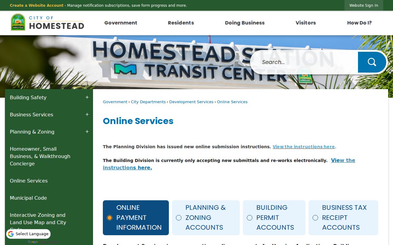
Code complaints require an exact address, violation description, owner when applicable, and violation type. Special Magistrate orders or fines may later appear as recorded liens. Zoning and land-use maps explain permitted use and buildable capacity, not who occupies a site.
Homestead Streets Cross Postal Lines
Homestead's historic grid uses NE, NW, SE, and SW labels, while the wider mailing area also follows the countywide numbered grid. Krome Avenue, Flagler Avenue, Washington Avenue, Mowry Drive, Campbell Drive, and South Dixie Highway help orient a search. Annexation extended the city east and northeast, producing an irregular boundary inside a much larger postal Homestead.
A street address with a Homestead postal city is not proof that Homestead holds its permit file. Check the folio prefix and municipality layer. ZIP areas also cross city limits. The county Address Search accepts a ZIP and municipality to refine ambiguous street text, but it returns a validated place, not an owner.
No authoritative consolidated list of Homestead street renamings and effective dates was verified. If an older address fails, search City Clerk ordinances, resolutions, and council minutes under both possible names. Then compare the subdivision, lot, block, plat, and folio. Sanborn fire-insurance maps documented for 1914, 1920, and 1927 can supply period street and building context. The legal description is the durable bridge when modern postal wording breaks.
Read Older Homestead Street Listings
For older household clues, the Town Hall Museum and Historic South Dade provide district directories for 1927, 1938, and 1955. Their geographic reach is wider than today's city. The 1927 and 1955 Polk volumes range from Goulds through Homestead to Florida City and west into Redland. The 1938 Redland District News directory stretches from Benson to Tavernier.
Those volumes belong to the historical shelf, not the modern owner chain. The Homestead city directory collections explain their OCR limits, entry codes, and companion telephone books. No authoritative exact run of reverse or criss-cross directories was verified for Homestead, so never promise a complete address-to-occupant sequence.
When an old listing and a modern street directory result appear to conflict, compare the locality and legal land description before concluding that a household moved. The historical district extended far outside the incorporated city, and the same road text can refer to changing postal or municipal geography.
Limits of Homestead Street Records
A property-roll street list is an owner directory, not a residents directory. Renters, children, roommates, relatives, and many other household members will not appear. A homestead exemption supports qualifying owner occupancy, yet it remains no roster. Driver-license addresses are protected by federal law, and the reviewed city sources do not publish utility or delivery accounts as neighborhood lists.
Records also lag. The Property Appraiser continuously edits its roll. Deeds document legal acts at stated dates. Permit applicants may be owners, contractors, or agents. Voter files omit unregistered people and withhold protected data. Corroborate a result with a second official source and retain each record's date and party role.
Lawful use. Use Homestead address records for lawful personal research. Never use them to stalk, harass, intimidate, or expose a protected person.