
Find Homestead Neighbors by Block
Official sources describe a block in layers. Miami-Dade e-Maps shows which parcels actually touch. Property Search identifies the assessed owner of each selected parcel. Recorded deeds and Homestead permit or code files add dated events. Voter information has a narrower lawful role, while civic bodies supply public contacts rather than private membership lists. None is a complete roster of Homestead neighbors.
| Source | What It Shows About a Block | Access |
|---|---|---|
| Miami-Dade e-Maps | Parcel adjacency, selected areas, buffers, and district context | Free address or folio search |
| Property Search | Indexed owner, mailing and situs addresses, folio, exemptions, and characteristics | Free, one parcel or partial result at a time |
| Official Records | Prior owners and recorded instruments affecting each parcel | Most records from 1974 online; older at Records Library |
| City permit and code files | Work history, occupancy certificates, alleged violations, hearings, and liens | City form or public-record request |
| Voter information | Lawfully released fields for identifiable registered voters | Official lookup or county data request; protected fields excluded |
| Civic bodies | Public members, meetings, service areas, and staff contacts | City committee, CRA, archive, and minutes pages |
An owner mailing address may differ from the property's situs, or physical, address. That may point to an owner who receives tax notices elsewhere. It does not identify a renter or every household member. A homestead exemption can support owner occupancy for a stated tax year, but it still does not name everyone living there. Keep the role and date attached to each name.
Read Homestead Neighbor Parcel Cards
After selecting parcels, open each folio in Property Search. The parcel card may show the indexed owner, a separate owner mailing address, situs, legal description, property traits, values, exemptions, sales, and map or aerial links. The 13-digit folio is the safest key for moving between map and record systems.
Do not turn those fields into a household claim. Trusts, estates, entities, and remote owners can appear in place of a person at the block. The Property Appraiser also updates the roll over time and does not promise that every displayed detail is current.
Common myth. A homestead exemption supports owner occupancy, but it is not a list of the people who share that home.
Map a Homestead Neighbor Block
e-Maps is the strongest official method for a repeatable block search because it uses parcel geometry. Sequential house numbers can mislead. Corner lots, vacant tracts, condominium parcels, and replats break a simple number-by-number walk. Start from one verified parcel and let the map define the nearby set.
- Open e-Maps and search the subject address or folio. Set the Information Layer to Parcels and choose a street or aerial basemap.
- Select the subject parcel. Pan and zoom, then use Select on each directly adjoining parcel for the smallest neighbor set.
- For both sides of a block, draw with Select by Area. For a radius, select the parcel, open Buffer, enter feet, set Parcels as the Target Layer, and create the buffer.
- Export selected records to HTML or Excel. Follow each folio into Property Search and record the indexed role and date.
- Visually check corner lots and parcels entered from another street. GIS positions are approximate and are not a legal survey.
This flow answers which parcels surround one address. For the ownership and record chain along an entire named road, use the Homestead street directory.
Homestead Civic Contacts, Not Rosters
No official umbrella directory of private HOA members or neighborhood residents was found. Homestead does publish civic bodies that help explain a block's public setting. Their pages identify appointed officers, meeting places, service areas, or staff. They should not be described as household directories.
Southwest Advisory Committee
Works on quality-of-life matters in southwest Homestead. The city lists appointed members, staff contact Jasmine Day at 305-224-4454, and meetings at Phichol Williams Community Center, 951 SW 4th Street.
Community Redevelopment Agency
Covers downtown and southwest redevelopment. Its office is at 212 NW 1st Avenue, and public board and meeting information is available without a resident roster.
Community Relations Board
A city public board with monthly meetings. Clerk agendas and minutes identify appointed members and public work, not private neighbor names.
HOA/Condo Fraud Unit
A Homestead Police investigative contact at 45 NW First Avenue, 305-245-1535. It is not an HOA membership lookup.
The Southwest Advisory Committee page shows the public-contact layer available for one part of Homestead.
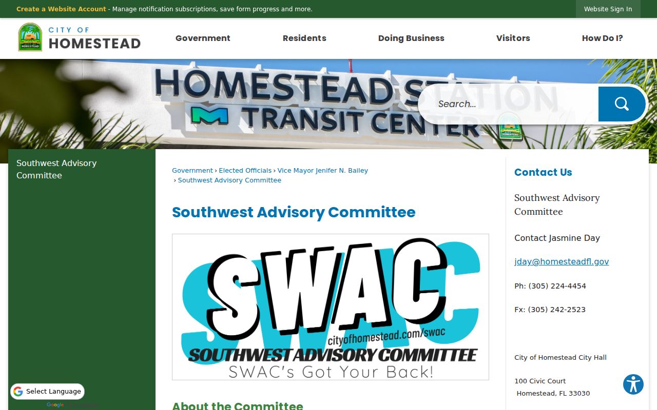
The captured page can connect neighbors to a public meeting or city contact. It does not disclose a private membership roll.
Homestead Neighbor Code Records
City permit and code files add events tied to an address. A permit can date work and name an owner, applicant, or contractor. A code record may identify a complaint address, alleged violation, hearing, or lien. A complaint remains an allegation until the record shows its disposition, and protected details may be redacted.
The Homestead Code Compliance page is the official route into that municipal layer.
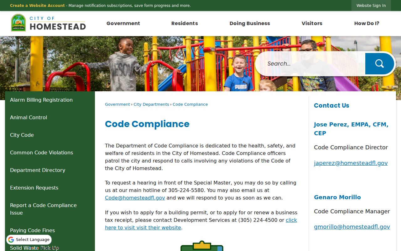
This image marks the right custodian when a parcel map needs dated city context. It cannot prove who lived at the property when a case began.
Search Homestead Neighbor Records
Meeting records can explain projects, public boards, resolutions, and changes that shaped a block. Homestead's E-Docs and archive search offer direct online routes. When the document is not indexed, the City Clerk accepts portal, email, phone, and in-person public-record requests.
The Homestead E-Docs page opens the city's electronic document collection.
The captured interface is useful for known public terms such as a board, street, resolution, or project name. Search several forms of a road name when the first query is empty.
The Homestead advanced archive search provides another city index for dated notices and records.
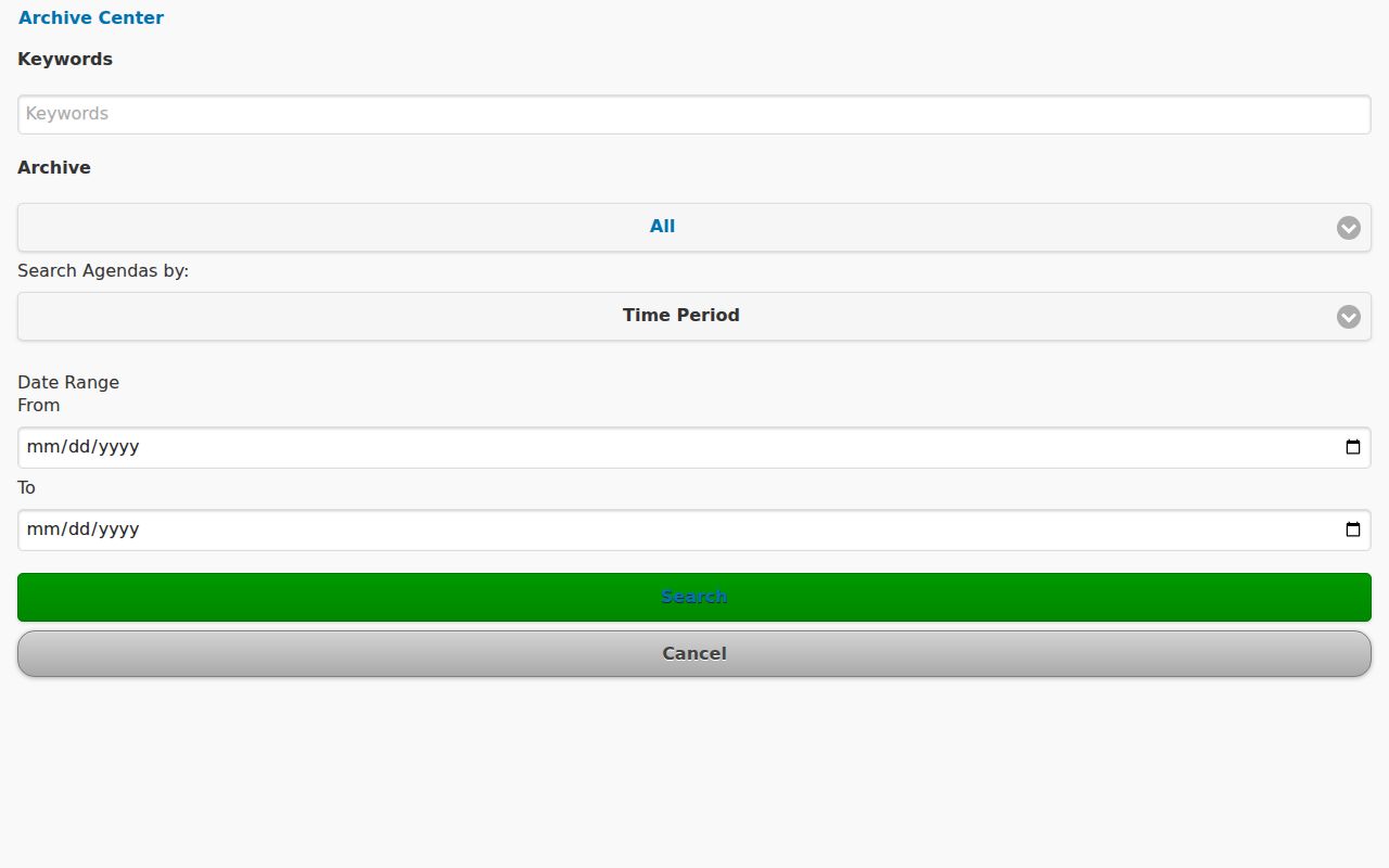
The archive view helps place a block issue in time. It should supplement parcel facts, not be treated as a current neighbor roster.
Request Homestead Neighbor Records
Dedicated portals do not hold every county or city file. A focused request should name the department, address or folio, record type, and date span. Under Florida Public Records Law, Chapter 119, ask for existing records rather than an explanation or a new report.
The Miami-Dade public-record portal routes departmental requests that do not belong in a dedicated index.
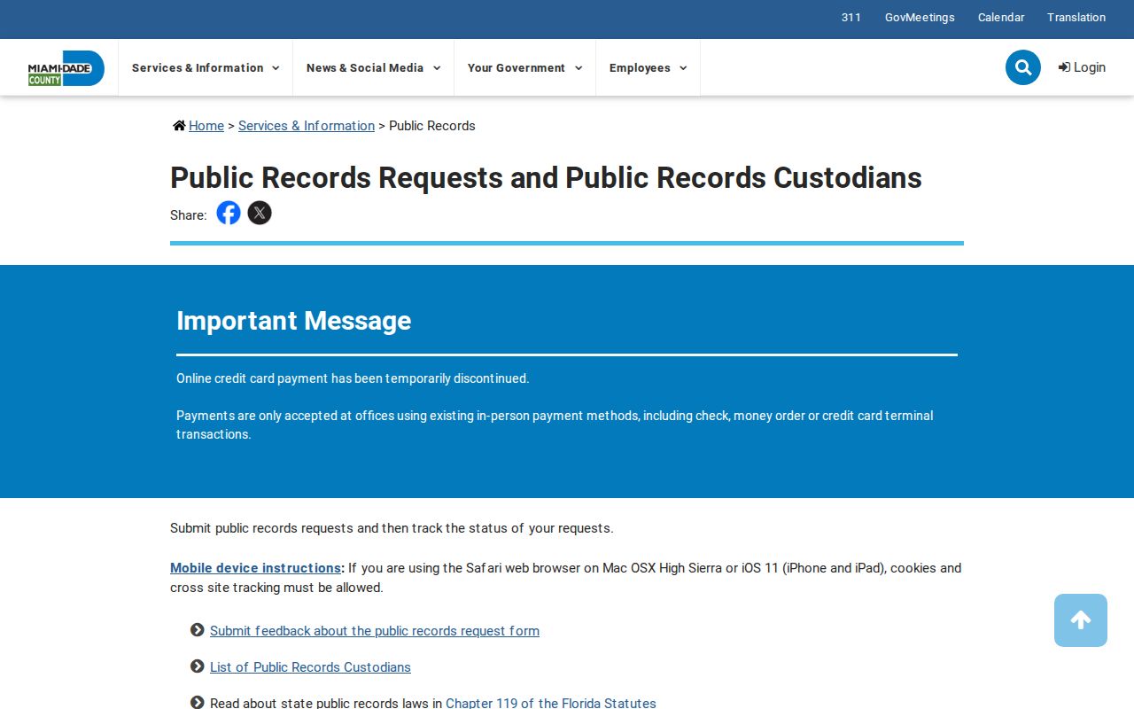
The image shows the county fallback channel. City records still go to Homestead's custodian, while deeds, parcel cards, and court cases remain with their named systems.
Homestead also accepts municipal requests through JustFOIA, by phone at 305-224-4434, by email at cityrecords@homesteadfl.gov, or at the City Clerk counter. Give a precise block, street, board, case type, and date span. Police reports use a separate department channel, and their release can be limited by active-investigation, victim, juvenile, or other exemptions.
Homestead Neighbor Source Comparison
Commercial neighbor tools may merge public and brokered data with uncertain dates. Official rolls are narrower, but each name has a defined role, keeper, and record date. Neither source type should be used to fill private gaps by inference.
| Source type | Strength | Limit |
|---|---|---|
| Official parcel and GIS records | Defined custodian, folio, map, and assessed-owner role | Do not list all occupants |
| Official deeds and city files | Dated instruments and address events | Party or applicant may not live there |
| Commercial compiled tools | May aggregate names from many feeds | Freshness, source, and role may be unclear |
For a boundary question, owner contact, neighborhood history, or heir search, cite the exact official record used. An absence from a deed or voter index does not show that a person is absent from the block.
The voter-status portal is also narrower than it looks. It is an identity-gated self-check, not a map of everyone registered nearby. A Miami-Dade voter-data extract follows a separate request path and omits protected fields. Participation history does not reveal ballot choices. These limits keep a block search from turning one official relationship into a claim about a whole household.
Parcel facts need the same restraint. Miami-Dade's assessed owner can be a trust, company, estate, or person whose tax-bill mailing address differs from the situs. Exemptions may support an owner-occupancy inference, but they do not identify every person at the address. For a neighbor question, state the recorded role and date. Do not convert ownership into an unsupported claim about who lives on the block today.
Recheck the live parcel card before sharing a citation because ownership and mailing fields can change between assessment rolls.
Protect Homestead Neighbors' Privacy
Florida law withholds specified sensitive data and protects eligible people through exact exemptions. The Attorney General's Address Confidentiality Program supplies a substitute mailing address for qualifying relocated victims. It is not a broad deletion service. Voter signatures, Social Security numbers, and driver-license or state-ID numbers are closed, and motor-vehicle personal information is separately restricted.
Utility and delivery account data was not found as a public Homestead neighbor directory. A protected person may be absent or shown through a substitute address. Never infer that a missing name means an empty home, and do not publish an address that a lawful program is designed to shield.
Lawful use. Research Homestead neighbors for civic context, history, owner contact, or personal safety, never to watch, expose, intimidate, or harass anyone.